Weather
Thunderstorms Forecast For Rainy Mother's Day Weekend In MD
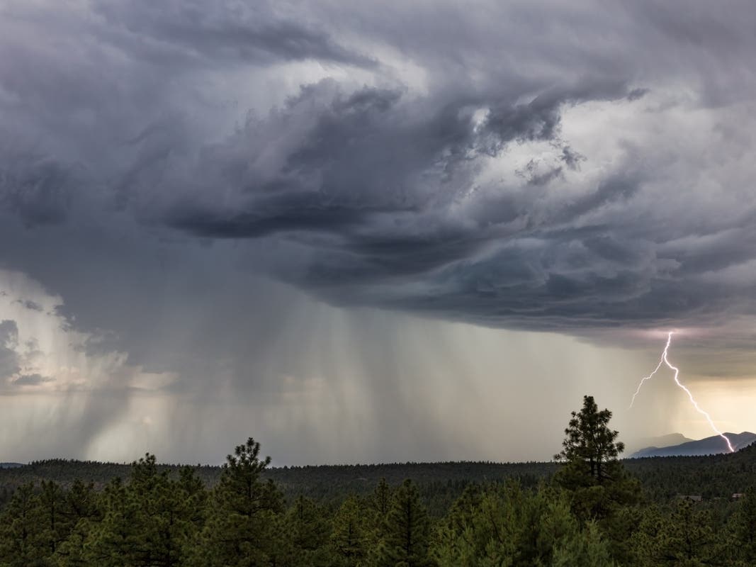
Thunderstorms could bring a flood risk, hail and damaging winds as Maryland braces for a rainy Mother's Day weekend. Here's the forecast.

MARYLAND — Thunderstorms could roll into Maryland on Thursday, kicking off a rainy Mother's Day weekend.
Scattered showers are expected throughout Thursday with a high near 70 degrees. Stronger storms are forecasted to arrive Thursday night, with temperatures dropping to 54 degrees.
Rain is likely during parts of Friday, with a high of 59 degrees, and Saturday when temperatures could reach 66 degrees. Thunderstorms are possible again late Sunday afternoon with temperatures holding at 66 degrees.
Find out what's happening in Towsonwith free, real-time updates from Patch.
"The main threats from the thunderstorms in the East will be high winds and hail," AccuWeather Senior Meteorologist Adam Douty said.
Maryland hopes to escape most of Thursday's wind damage, however. The National Weather Service forecast calls for winds up to 13 mph.
Find out what's happening in Towsonwith free, real-time updates from Patch.
Winds could be stronger over the open waters. Thursday gusts may reach 39 mph on the Maryland portion of the Chesapeake Bay.
"Isolated severe thunderstorms capable of producing damaging wind gusts and large hail are possible this afternoon and evening, mainly south of Washington, D.C.," the National Weather Service said in a Thursday hazardous weather outlook. "Locally heavy rainfall could result in isolated instances of flooding this afternoon and evening."
AccuWeather said a "wedge of cool air" should prevent serious thunderstorm damage in cities from Baltimore and Washington up to Boston. These cooler temperatures will occupy the lower atmosphere, forcing the high winds and thunderstorms several thousand feet upward above ground level. That should prevent severe damage in towns on the ground.
"April 15 was the last day with widespread wind and hail in [Virginia] and the mid-Atlantic region in general," Douty said.
Localized wind damage is the main concern, though hail and an isolated tornado cannot be ruled out in the Mid-Atlantic states, according to the Weather Channel. Special marine warnings may be needed as strong storms capable of producing wind gusts of 34 knots passes over the waters Thursday afternoon and into Friday.
Here's the National Weather Service forecast for Baltimore/Washington International Airport:
Thursday: Scattered showers. Cloudy, with a high near 70. Northeast wind 7 to 9 mph. Chance of precipitation is 30%.
Thursday Night: Showers and thunderstorms likely, mainly before 1am, then showers likely and possibly a thunderstorm after 2am. Cloudy, with a low around 54. East wind 7 to 9 mph. Chance of precipitation is 70%. New rainfall amounts between a tenth and quarter of an inch, except higher amounts possible in thunderstorms.
Friday: Showers likely, mainly after 2pm. Cloudy, with a high near 59. East wind 8 to 11 mph. Chance of precipitation is 70%. New precipitation amounts between a quarter and half of an inch possible.
Friday Night: Showers likely, mainly before 8pm. Mostly cloudy, with a low around 48. Northeast wind 6 to 8 mph. Chance of precipitation is 60%. New precipitation amounts between a tenth and quarter of an inch possible.
Saturday: A slight chance of showers before 8am, then a chance of showers after 2pm. Partly sunny, with a high near 66. Light and variable wind becoming southeast 5 to 8 mph in the afternoon. Chance of precipitation is 30%.
Saturday Night: Showers likely, mainly after 8pm. Mostly cloudy, with a low around 50. Chance of precipitation is 60%.
Sunday: A chance of showers, with thunderstorms also possible after 2pm. Partly sunny, with a high near 66. Chance of precipitation is 50%.
Sunday Night: A chance of thunderstorms before 8pm. Mostly clear, with a low around 48. Chance of precipitation is 30%.
Monday: Mostly sunny, with a high near 74.
Monday Night: Partly cloudy, with a low around 58.
Tuesday: A chance of showers. Partly sunny, with a high near 77. Chance of precipitation is 30%.
Tuesday Night: A chance of showers. Mostly cloudy, with a low around 60. Chance of precipitation is 50%.
Wednesday: Showers likely. Mostly cloudy, with a high near 74. Chance of precipitation is 60%.
Get more local news delivered straight to your inbox. Sign up for free Patch newsletters and alerts.


